
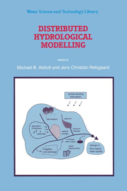
Distributed Hydrological Modelling
☆☆☆☆☆
(0 opinii)
Najniższa cena (z dostawą)
21 468,00 JPY
Typowa cena3 130,79 PLN
Najniższa (90 dni)129,99 PLN
Liczba ofert6
Ostatnia aktualizacja1 tydzień temu
Historia ceny (90 dni)
Pełna historia
2026-08-08
2026-08-15
| Zaktualizowano | Cena |
|---|---|
| 2026-08-08 | 129,99 |
| 2026-08-15 | 155,99 |
| Sprzedawca | Cena produktu | Dostawa | Razem | Dostępność | Aktualizacja | |
|---|---|---|---|---|---|---|
| SP SpringerNatureLink Shop INT | 21 449,00 JPY | 19,00 JPY | 21 468,00 JPY | Dostępny | 3 dni temu | Zobacz ofertę |
| SP Springer Nature Author | 21 449,00 JPY | 29,00 JPY | 21 478,00 JPY | Dostępny | 1 tydzień temu | Zobacz ofertę |
| SP SpringerNatureLink Shop INT | 149,99 USD | 29,00 USD | 178,99 USD | Dostępny | 3 dni temu | Zobacz ofertę |
| SP SpringerNatureLink Shop INT | 169,99 USD | 29,00 USD | 198,99 USD | Dostępny | 3 dni temu | Zobacz ofertę |
| SP SpringerNatureLink Shop INT | 169,99 USD | 15,00 USD | 184,99 USD | Dostępny | 3 dni temu | Zobacz ofertę |
| SP SpringerNatureLink Shop INT | 177,00 EUR | 0 zł | 177,00 EUR | Dostępny | 3 dni temu | Zobacz ofertę |
Ceny i dostępność mogą ulec zmianie. Ostatnia aktualizacja: 08.08.2026 23:33.
0,0
☆☆☆☆☆
0 opinii
5★
0%
4★
0%
3★
0%
2★
0%
1★
0%
Opinie o produkcie
Brak opinii — bądź pierwszy!
It is the task of the engineer, as of any other professional person, to do everything that is reasonably possible to analyse the difficulties with which his or her client is confronted, and on this basis to design solutions and implement these in practice. The distributed hydrological model is, correspondingly, the means for doing everything that is reasonably possible - of mobilising as much data and testing it with as much knowledge as is economically feasible - for the purpose of analysing problems and of designing and implementing remedial measures in the case of difficulties arising within the hydrological cycle. Thus the aim of distributed hydrologic modelling is to make the fullest use of cartographic data, of geological data, of satellite data, of stream discharge measurements, of borehole data, of observations of crops and other vegetation, of historical records of floods and droughts, and indeed of everything else that has ever been recorded or remembered, and then to apply to this everything that is known about meteorology, plant physiology, soil physics, hydrogeology, sediment transport and everything else that is relevant within this context. Of course, no matter how much data we have and no matter how much we know, it will never be enough to treat some problems and some situations, but still we can aim in this way to do the best that we possibly can.
Podobne produkty
 50 Years of Philosophy and Medicine
od $107.30
50 Years of Philosophy and Medicine
od $107.30
 Understanding Cybersecurity Law and Digital Privacy
od $122.63
Understanding Cybersecurity Law and Digital Privacy
od $122.63
 Decisions in International Trade and Logistics
od $122.63
Decisions in International Trade and Logistics
od $122.63
 Advances in Economic Measurement
od $122.63
Advances in Economic Measurement
od $122.63
 Nanomaterials
od $137.96
Nanomaterials
od $137.96
 Sustainable Scaffolds-based Strategies in Tissue Engineering and Regenerative Medicine
od $162.87
Sustainable Scaffolds-based Strategies in Tissue Engineering and Regenerative Medicine
od $162.87
 Narratives in Educational Research
od $162.87
Narratives in Educational Research
od $162.87
 Environmental Biology of the Young Chinese Sturgeon
od $210.78
Environmental Biology of the Young Chinese Sturgeon
od $210.78