
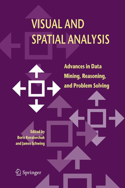
Visual and Spatial Analysis
☆☆☆☆☆
(0 reviews)
Lowest price (incl. delivery)
42 928,00 JPY
Typical price3 877,41 PLN
Lowest (90 days)311,99 PLN
Offers3
Last updated1 周前
Price history (90 days)
Full history
2026-08-08
2026-08-15
| 更新时间 | 价格 |
|---|---|
| 2026-08-08 | 311,99 |
| 2026-08-15 | 316,49 |
| 卖家 | Product price | Delivery | 总计 | 可用性 | Updated | |
|---|---|---|---|---|---|---|
| SP SpringerNatureLink Shop INT | 42 899,00 JPY | 29,00 JPY | 42 928,00 JPY | 可购买 | 2 天前 | View offer |
| SP Springer Nature Author | 42 899,00 JPY | free | 42 899,00 JPY | 可购买 | 1 周前 | View offer |
| SP SpringerNatureLink Shop INT | 354,00 EUR | 29,00 EUR | 383,00 EUR | 可购买 | 2 天前 | View offer |
价格和库存可能会有变动。 最后更新: 08.08.2026 23:40.
EAN
9789048167500
Springer Nature
0,0
☆☆☆☆☆
0 reviews
5★
0%
4★
0%
3★
0%
2★
0%
1★
0%
Product reviews
No reviews yet — be the first!
Advanced visual analysis and problem solving has been conducted successfully for millennia. The Pythagorean Theorem was proven using visual means more than 2000 years ago. In the 19th century, John Snow stopped a cholera epidemic in London by proposing that a specific water pump be shut down. He discovered that pump by visually correlating data on a city map. The goal of this book is to present the current trends in visual and spatial analysis for data mining, reasoning, problem solving and decision-making. This is the first book to focus on visual decision making and problem solving in general with specific applications in the geospatial domain - combining theory with real-world practice. The book is unique in its integration of modern symbolic and visual approaches to decision making and problem solving. As such, it ties together much of the monograph and textbook literature in these emerging areas. This book contains 21 chapters that have been grouped into five parts: (1) visual problem solving and decision making, (2) visual and heterogeneous reasoning, (3) visual correlation, (4) visual and spatial data mining, and (5) visual and spatial problem solving in geospatial domains. Each chapter ends with a summary and exercises. The book is intended for professionals and graduate students in computer science, applied mathematics, imaging science and Geospatial Information Systems (GIS). In addition to being a state-of-the-art research compilation, this book can be used a text for advanced courses on the subjects such as modeling, computer graphics, visualization, image processing, data mining, GIS, and algorithm analysis.
Similar products
 50 Years of Philosophy and Medicine
from $107.30
50 Years of Philosophy and Medicine
from $107.30
 Understanding Cybersecurity Law and Digital Privacy
from $122.63
Understanding Cybersecurity Law and Digital Privacy
from $122.63
 Decisions in International Trade and Logistics
from $122.63
Decisions in International Trade and Logistics
from $122.63
 Advances in Economic Measurement
from $122.63
Advances in Economic Measurement
from $122.63
 Nanomaterials
from $137.96
Nanomaterials
from $137.96
 Sustainable Scaffolds-based Strategies in Tissue Engineering and Regenerative Medicine
from $162.87
Sustainable Scaffolds-based Strategies in Tissue Engineering and Regenerative Medicine
from $162.87
 Narratives in Educational Research
from $162.87
Narratives in Educational Research
from $162.87
 Environmental Biology of the Young Chinese Sturgeon
from $210.78
Environmental Biology of the Young Chinese Sturgeon
from $210.78