
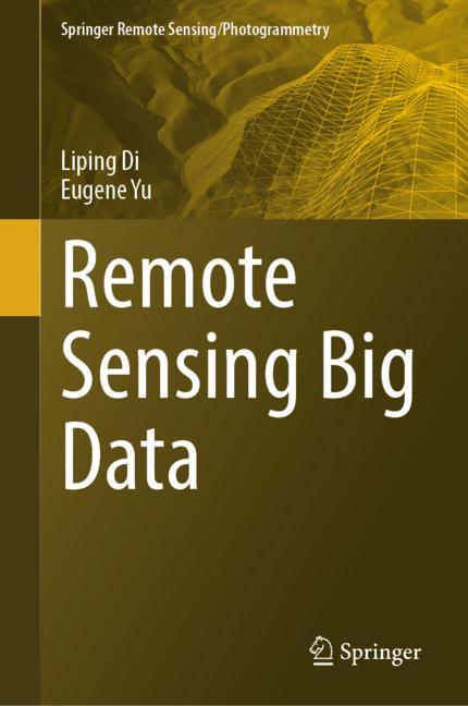
Remote Sensing Big Data
☆☆☆☆☆
(0 reviews)
Lowest price (incl. delivery)
18 318,00 JPY
Typical price6 500,01 PLN
Lowest (90 days)136,95 PLN
Offers4
Last updated3 дня назад
Price history (90 days)
Full history
2026-08-08
2026-08-15
| Обновлено | Цена |
|---|---|
| 2026-08-08 | 136,95 |
| 2026-08-15 | 151,50 |
| Продавец | Product price | Delivery | Всего | Наличие | Updated | |
|---|---|---|---|---|---|---|
| SP SpringerNatureLink Shop INT | 18 303,00 JPY | 15,00 JPY | 18 318,00 JPY | Доступно | 3 дня назад | View offer |
| SP Springer Nature Author | 18 303,00 JPY | 25,00 JPY | 18 328,00 JPY | Доступно | 1 неделю назад | View offer |
| SP SpringerNatureLink Shop INT | 136,95 USD | free | 136,95 USD | Доступно | 3 дня назад | View offer |
| SP SpringerNatureLink Shop INT | 151,50 EUR | 19,00 EUR | 170,50 EUR | Доступно | 3 дня назад | View offer |
Цены и наличие могут меняться. Последнее обновление: 15.08.2026 05:36.
EAN
9783031339325
Springer Nature
0,0
☆☆☆☆☆
0 reviews
5★
0%
4★
0%
3★
0%
2★
0%
1★
0%
Product reviews
No reviews yet — be the first!
This monograph provides comprehensive coverage of the collection, management, and use of big data obtained from remote sensing. The book begins with an introduction to the basics of big data and remote sensing, laying the groundwork for the more specialized information to follow. The volume then goes on to address a wide variety of topics related to the use and management of remote sensing big data, including hot topics such as analysis through machine learning, cyberinfrastructure, and modeling. Examples on how to use the results of big data analysis of remotely sensed data for concrete decision-making are offered as well. The closing chapters discuss geospatial big data initiatives throughout the world and future challenges and opportunities for remote sensing big data applications. The audience for this book includes researchers at the intersection of geoscience and data science, senior undergraduate and graduate students, and anyone else interested in how large datasets obtained through remote sensing can be best utilized. The book presents a culmination of 30 years of research from renowned spatial scientists Drs. Liping Di and Eugene Yu.
Similar products
 50 Years of Philosophy and Medicine
from $107.30
50 Years of Philosophy and Medicine
from $107.30
 Understanding Cybersecurity Law and Digital Privacy
from $122.63
Understanding Cybersecurity Law and Digital Privacy
from $122.63
 Decisions in International Trade and Logistics
from $122.63
Decisions in International Trade and Logistics
from $122.63
 Advances in Economic Measurement
from $122.63
Advances in Economic Measurement
from $122.63
 Nanomaterials
from $137.96
Nanomaterials
from $137.96
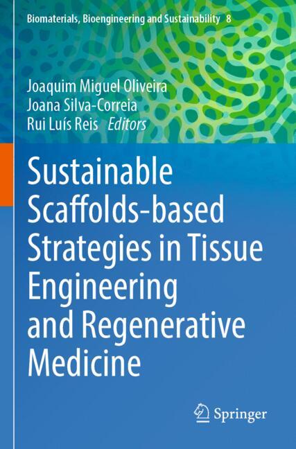 Sustainable Scaffolds-based Strategies in Tissue Engineering and Regenerative Medicine
from $162.87
Sustainable Scaffolds-based Strategies in Tissue Engineering and Regenerative Medicine
from $162.87
 Narratives in Educational Research
from $162.87
Narratives in Educational Research
from $162.87
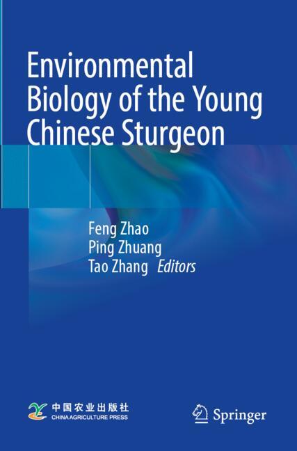 Environmental Biology of the Young Chinese Sturgeon
from $210.78
Environmental Biology of the Young Chinese Sturgeon
from $210.78