
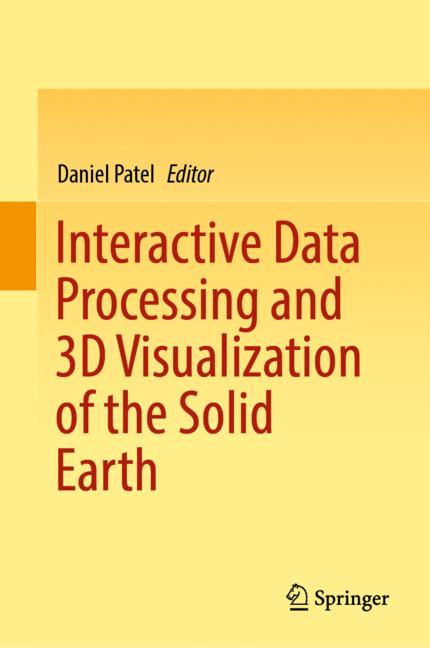
Interactive Data Processing and 3D Visualization of the Solid Earth
☆☆☆☆☆
(0 opinii)
Najniższa cena (z dostawą)
106,89 USD
Typowa cena822,27 PLN
Najniższa (90 dni)77,89 PLN
Liczba ofert3
Ostatnia aktualizacja1 tydzień temu
Historia ceny (90 dni)
Pełna historia
2026-08-08
2026-08-15
| Zaktualizowano | Cena |
|---|---|
| 2026-08-08 | 77,89 |
| 2026-08-15 | 86,10 |
| Sprzedawca | Cena produktu | Dostawa | Razem | Dostępność | Aktualizacja | |
|---|---|---|---|---|---|---|
| SP SpringerNatureLink Shop INT | 77,89 USD | 29,00 USD | 106,89 USD | Dostępny | 3 dni temu | Zobacz ofertę |
| SP SpringerNatureLink Shop INT | 86,10 EUR | 25,00 EUR | 111,10 EUR | Dostępny | 3 dni temu | Zobacz ofertę |
| SP Springer Nature Author | 14 871,00 JPY | 15,00 JPY | 14 886,00 JPY | Dostępny | 1 tydzień temu | Zobacz ofertę |
Ceny i dostępność mogą ulec zmianie. Ostatnia aktualizacja: 08.08.2026 23:26.
EAN
9783030907167
Springer Nature
0,0
☆☆☆☆☆
0 opinii
5★
0%
4★
0%
3★
0%
2★
0%
1★
0%
Opinie o produkcie
Brak opinii — bądź pierwszy!
This book presents works detailing the application of processing and visualization techniques for analyzing the Earth’s subsurface. The topic of the book is interactive data processing and interactive 3D visualization techniques used on subsurface data. Interactive processing of data together with interactive visualization is a powerful combination which has in the recent years become possible due to hardware and algorithm advances in. The combination enables the user to perform interactive exploration and filtering of datasets while simultaneously visualizing the results so that insights can be made immediately. This makes it possible to quickly form hypotheses and draw conclusions. Case studies from the geosciences are not as often presented in the scientific visualization and computer graphics community as e.g., studies on medical, biological or chemical data. This book will give researchers in the field of visualization and computer graphics valuable insight into theopen visualization challenges in the geosciences, and how certain problems are currently solved using domain specific processing and visualization techniques. Conversely, readers from the geosciences will gain valuable insight into relevant visualization and interactive processing techniques. Subsurface data has interesting characteristics such as its solid nature, large range of scales and high degree of uncertainty, which makes it challenging to visualize with standard methods. It is also noteworthy that parallel fields of research have taken place in geosciences and in computer graphics, with different terminology when it comes to representing geometry, describing terrains, interpolating data and (example-based) synthesis of data. The domains covered in this book are geology, digital terrains, seismic data, reservoir visualization and CO2 storage. The technologies covered are 3D visualization, visualization of large datasets, 3D modelling, machine learning, virtual reality, seismic interpretation and multidisciplinary collaboration. People within any of these domains and technologies are potential readers of the book.
Podobne produkty
 50 Years of Philosophy and Medicine
od $107.30
50 Years of Philosophy and Medicine
od $107.30
 Understanding Cybersecurity Law and Digital Privacy
od $122.63
Understanding Cybersecurity Law and Digital Privacy
od $122.63
 Decisions in International Trade and Logistics
od $122.63
Decisions in International Trade and Logistics
od $122.63
 Advances in Economic Measurement
od $122.63
Advances in Economic Measurement
od $122.63
 Nanomaterials
od $137.96
Nanomaterials
od $137.96
 Sustainable Scaffolds-based Strategies in Tissue Engineering and Regenerative Medicine
od $162.87
Sustainable Scaffolds-based Strategies in Tissue Engineering and Regenerative Medicine
od $162.87
 Narratives in Educational Research
od $162.87
Narratives in Educational Research
od $162.87
 Environmental Biology of the Young Chinese Sturgeon
od $210.78
Environmental Biology of the Young Chinese Sturgeon
od $210.78