
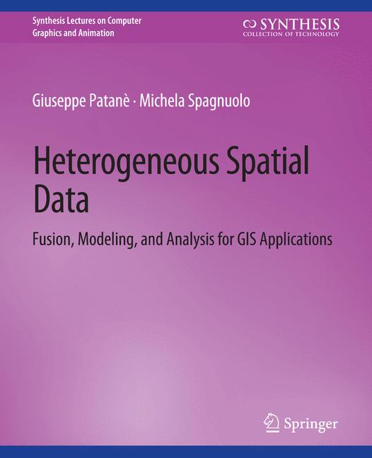
Heterogeneous Spatial Data
☆☆☆☆☆
(0 reviews)
Lowest price (incl. delivery)
78,99 USD
Typical price45,07 PLN
Lowest (90 days)39,99 PLN
Offers2
Last updated1日前
| 販売者 | Product price | Delivery | 合計 | 在庫状況 | Updated | |
|---|---|---|---|---|---|---|
| SP SpringerNatureLink Shop INT | 49,99 USD | 29,00 USD | 78,99 USD | 在庫あり | 1日前 | View offer |
| SP Springer Nature Author | 49,99 USD | 29,00 USD | 78,99 USD | 在庫あり | 18時間前 | View offer |
価格や在庫状況は変更される場合があります。 最終更新: 08.08.2026 09:14.
0,0
☆☆☆☆☆
0 reviews
5★
0%
4★
0%
3★
0%
2★
0%
1★
0%
Product reviews
No reviews yet — be the first!
New data acquisition techniques are emerging and are providing fast and efficient means for multidimensional spatial data collection. Airborne LIDAR surveys, SAR satellites, stereo-photogrammetry and mobile mapping systems are increasingly used for the digital reconstruction of the environment. All these systems provide extremely high volumes of raw data, often enriched with other sensor data (e.g., beam intensity). Improving methods to process and visually analyze this massive amount of geospatial and user-generated data is crucial to increase the efficiency of organizations and to better manage societal challenges. Within this context, this book proposes an up-to-date view of computational methods and tools for spatio-temporal data fusion, multivariate surface generation, and feature extraction, along with their main applications for surface approximation and rainfall analysis. The book is intended to attract interest from different fields, such as computer vision, computer graphics,geomatics, and remote sensing, working on the common goal of processing 3D data. To this end, it presents and compares methods that process and analyze the massive amount of geospatial data in order to support better management of societal challenges through more timely and better decision making, independent of a specific data modeling paradigm (e.g., 2D vector data, regular grids or 3D point clouds). We also show how current research is developing from the traditional layered approach, adopted by most GIS softwares, to intelligent methods for integrating existing data sets that might contain important information on a geographical area and environmental phenomenon. These services combine traditional map-oriented visualization with fully 3D visual decision support methods and exploit semantics-oriented information (e.g., a-priori knowledge, annotations, segmentations) when processing, merging, and integrating big pre-existing data sets.
Similar products
 Patient Safety Coaching
from $91.97
Patient Safety Coaching
from $91.97
 Ethnography and Diversity
from $69.30
Ethnography and Diversity
from $69.30
 Smart Villages
from $91.97
Smart Villages
from $91.97
 Nuclear Non-Proliferation in International Law - Volume VI
from $91.97
Nuclear Non-Proliferation in International Law - Volume VI
from $91.97
 The Price of Freedom
from $91.97
The Price of Freedom
from $91.97
 Eco-Social Policy in the OECD and the World Bank
from $91.97
Eco-Social Policy in the OECD and the World Bank
from $91.97
 Special Topics in Policing
from $122.58
Special Topics in Policing
from $122.58
 Music from the Heart
from $91.97
Music from the Heart
from $91.97